NORD
NORD Generate yours
scroll to step in

01
Z 6.0
the idea

A photograph is not flat. It only forgot its depth — so the machine reminds it.

Monocular depth estimation reads distance from a single image the way your eyes do: haze, scale, occlusion. We slice the estimate into feathered, edge-aligned bands, re-project them in space, and let the camera walk through.

No 3D files. No photogrammetry rig. No GPU farm. Four JPEGs in — four explorable places out, in the time it takes to pour a coffee.
field notes
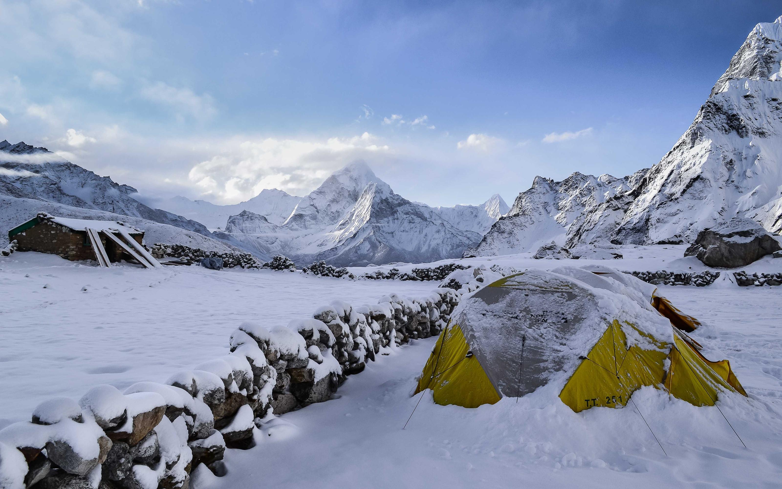
01 / BASECAMP
Cold start5,364 m
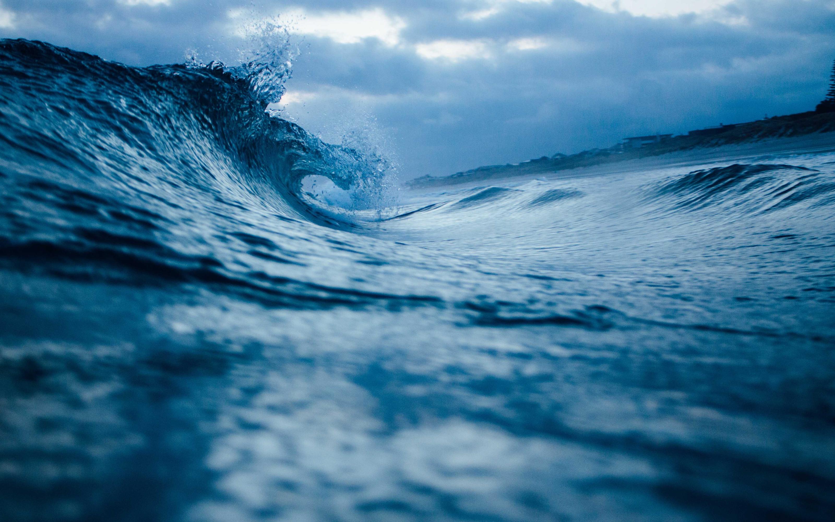
02 / SWELL
The sea insists58°N
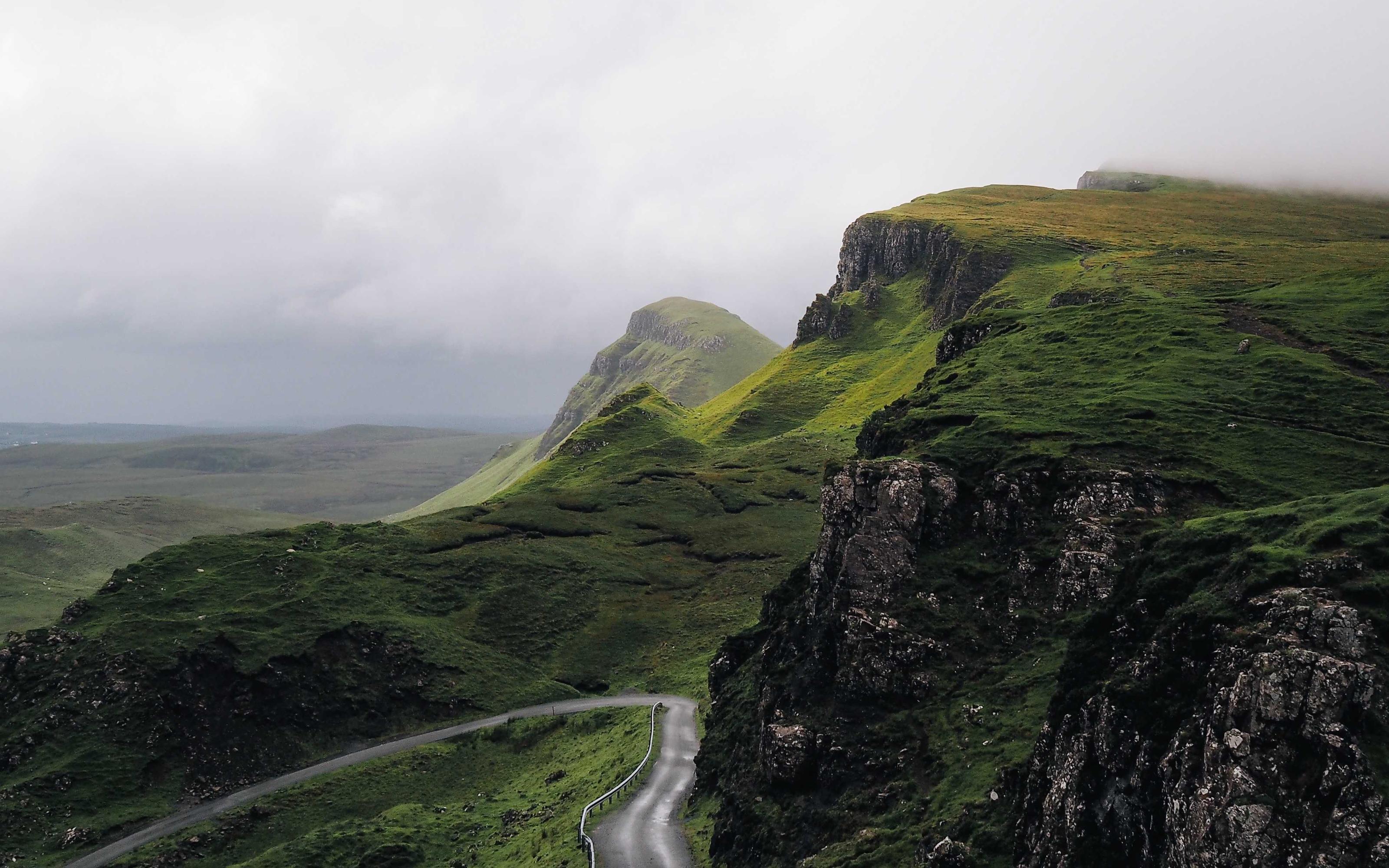
03 / PASS
One lane throughQuiraing
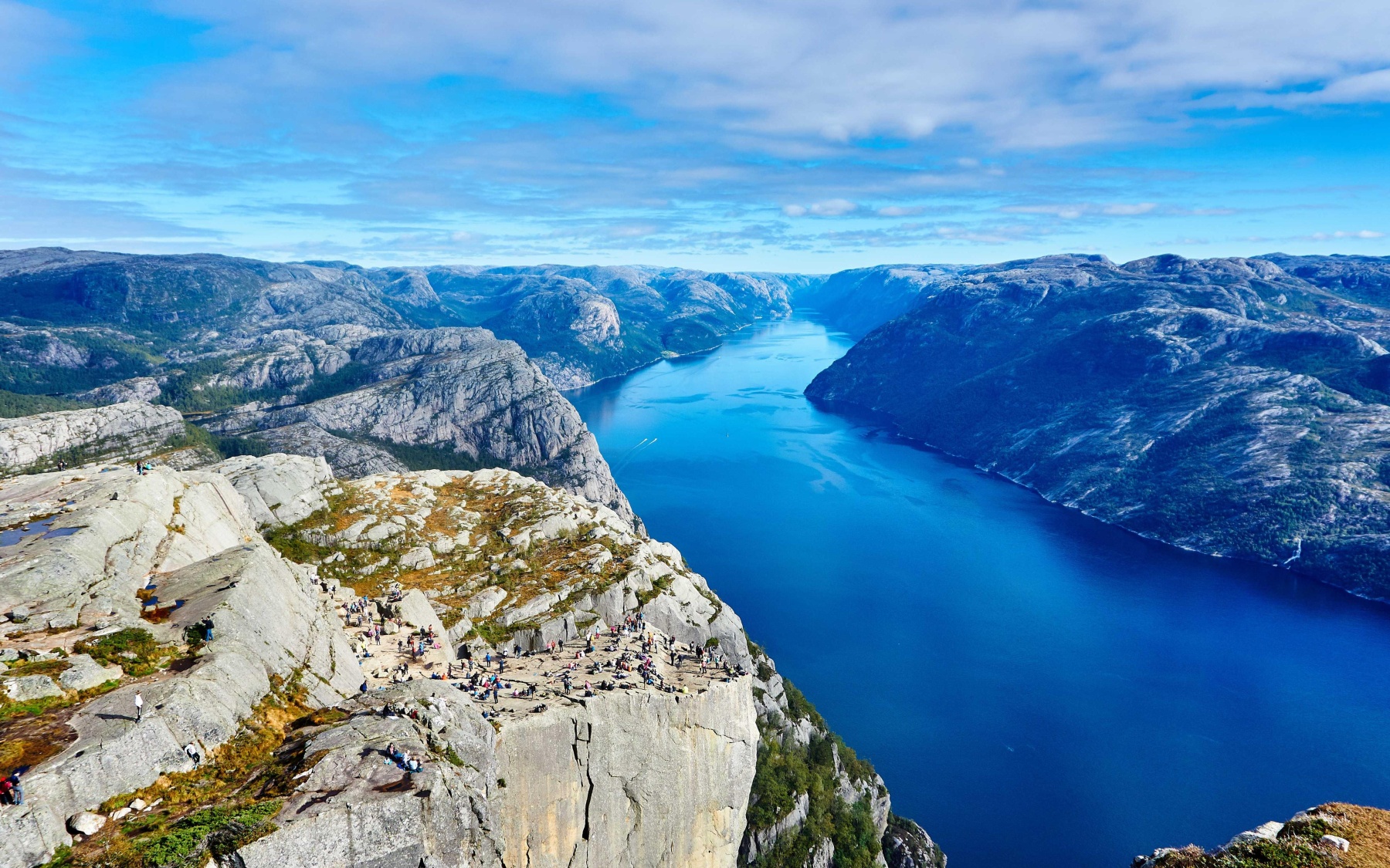
04 / FJORD
Where it opensLysefjord
the lens

Move your cursor.
The photograph answers.

This panel re-lights the same fjord with its own depth map — a two-texture shader, thirty lines, no mesh. The parallax you feel is the estimated distance of every pixel.

the receipt

What these four places actually cost.

SRCsource photographs0JPEGs, up to 4,800 px
CUTdepth layers, edge-aligned0planes
CPUfull pipeline, laptop, no GPU0minutes
FEEgeneration cost$0total
FOUR PLACESONE PIPELINENO 3D FILESJUST CODE FOUR PLACESONE PIPELINENO 3D FILESJUST CODE
generated from single images

Your photo has a place inside it.
Step in.

Generate yours → depth · layer cut · re-projection — automated end to end